Project Team: Zequan Yu & Wenyi Xu
Project Time: 2024 Summer
Project Time: 2024 Summer
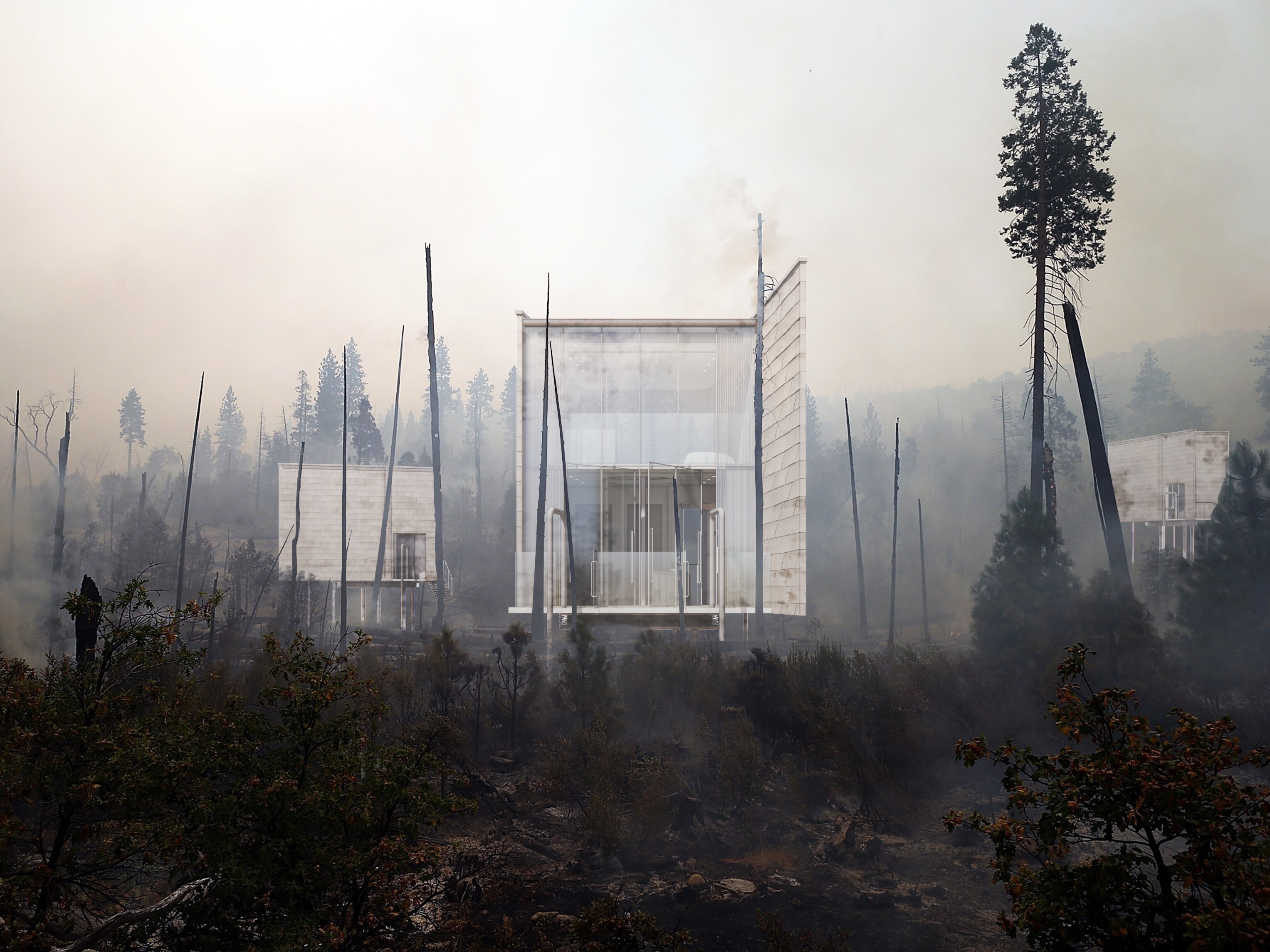
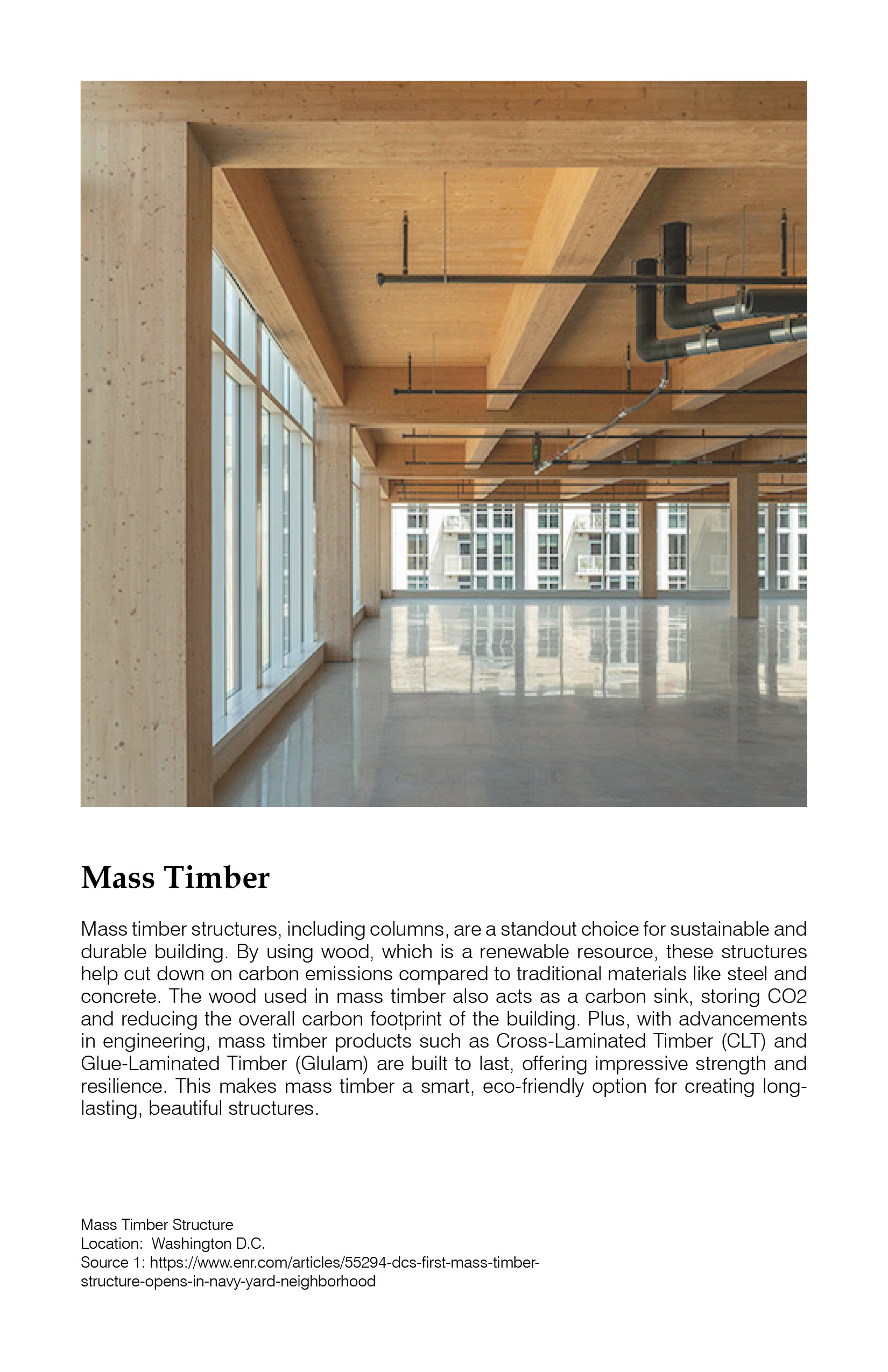
The City Island at Floyd Bennett Field emphasizes cohabitation with the site through a phased development timeline. The development method involves creating "Typologies" and "Modular Construction." Our program includes transportation systems, affordable housing, flood prevention, and recreation area preservation. Mass Timber is the primary structural material for our modular buildings.
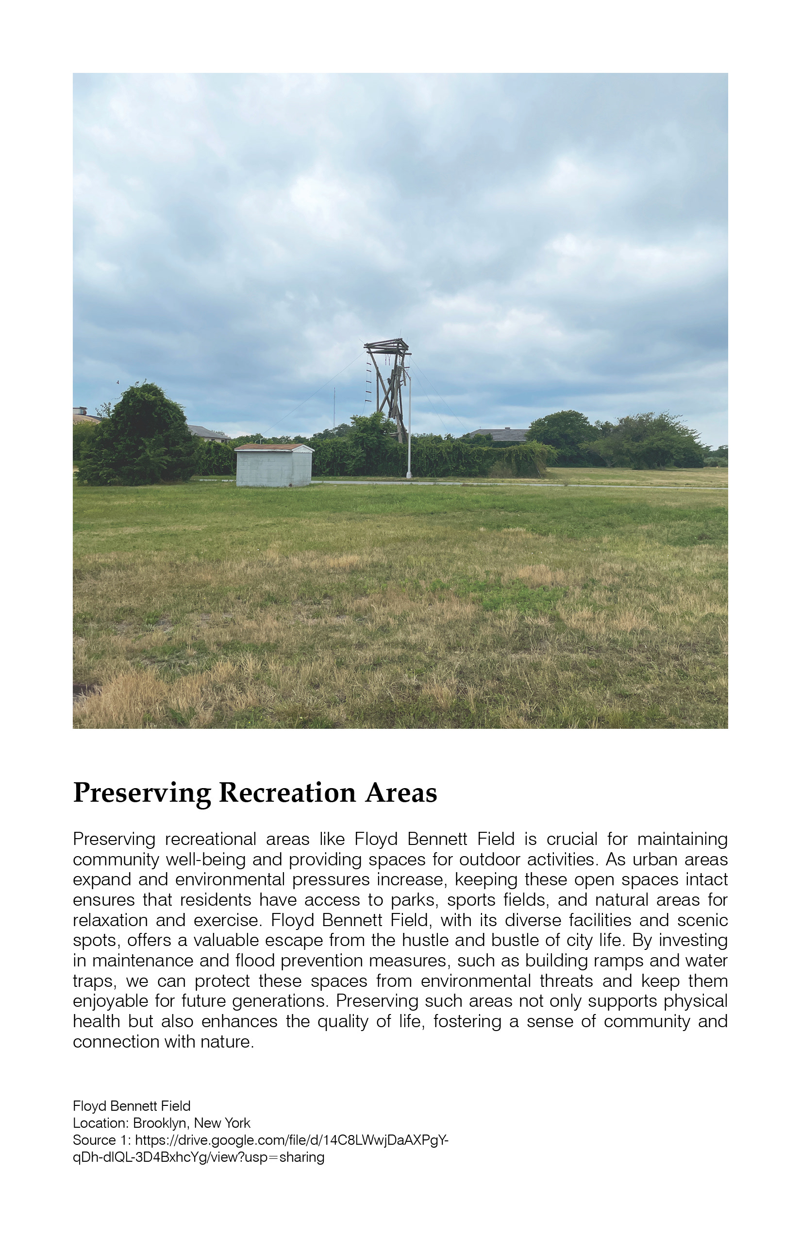
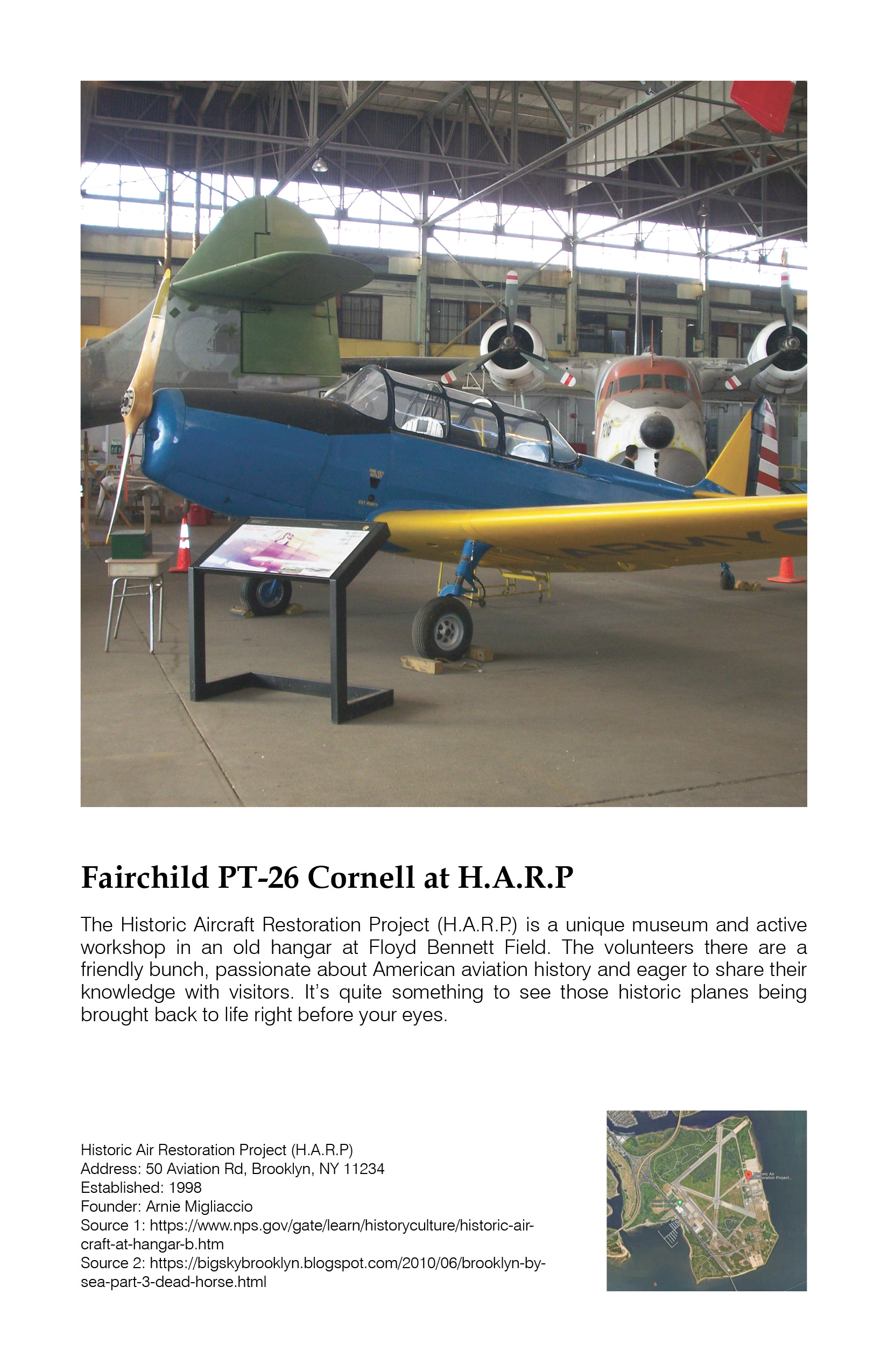
Floyd Bennett Field, a former airport for the metropolitan area and later a military air base, is now largely open, with expansive parklands supporting local recreation, police facilities, and historical buildings. Located adjacent to the wetlands of Jamaica Bay and with its remaining airport infrastructure, its potential for reuse has been explored recently with some difficulty as a refugee facility.
As a small island alongside its larger counterpart, “City Islands” offers both a conceptual and literal framework for architectural experimentation, addressing some of the most pressing challenges of the contemporary environment. Throughout history, islands have been sites of speculation, from Thomas More’s Utopia to Rem Koolhaas’ Delirious New York, where places like Coney Island function as miniature prototypes for Manhattan itself.
Site Analysis
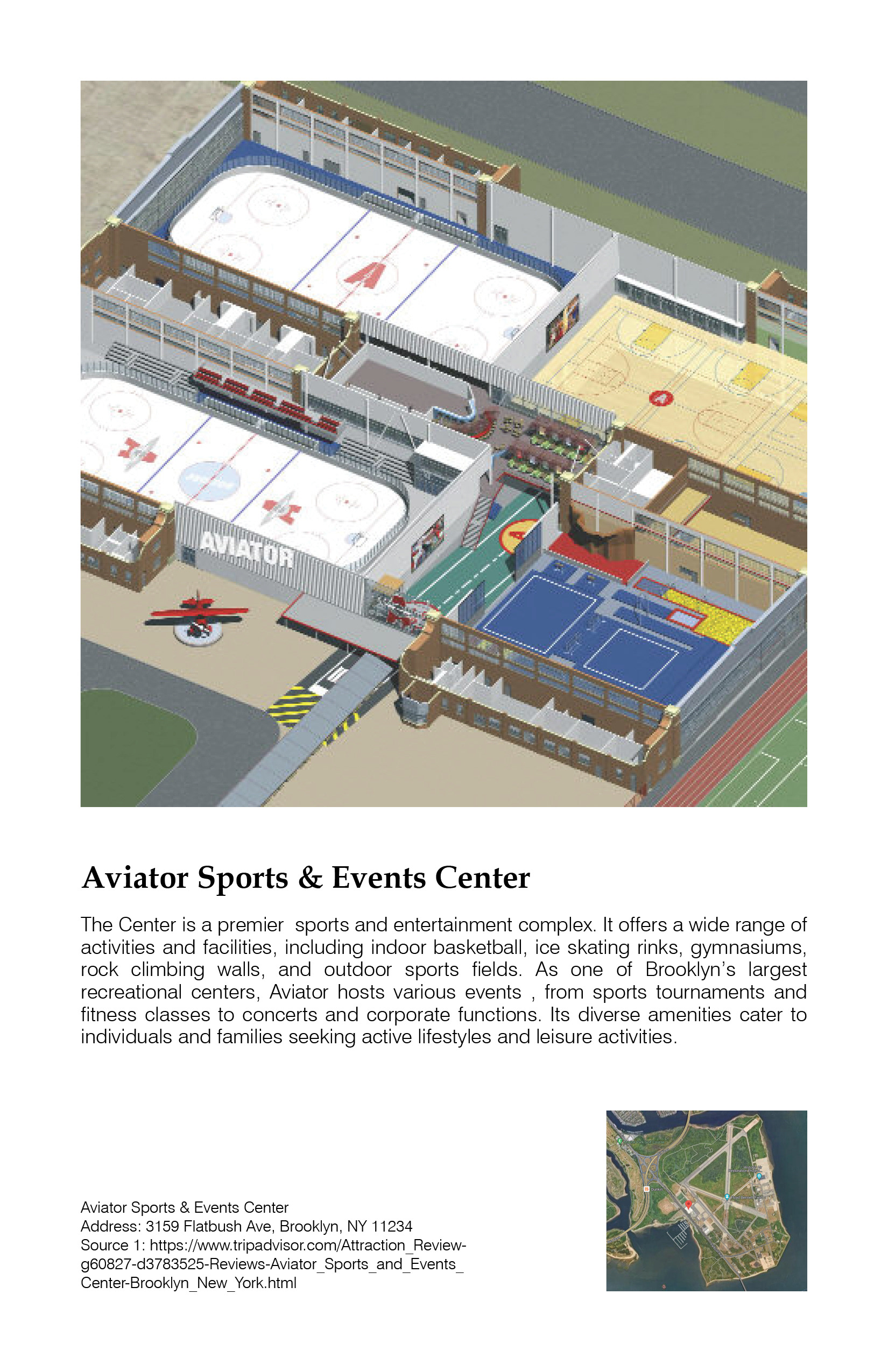
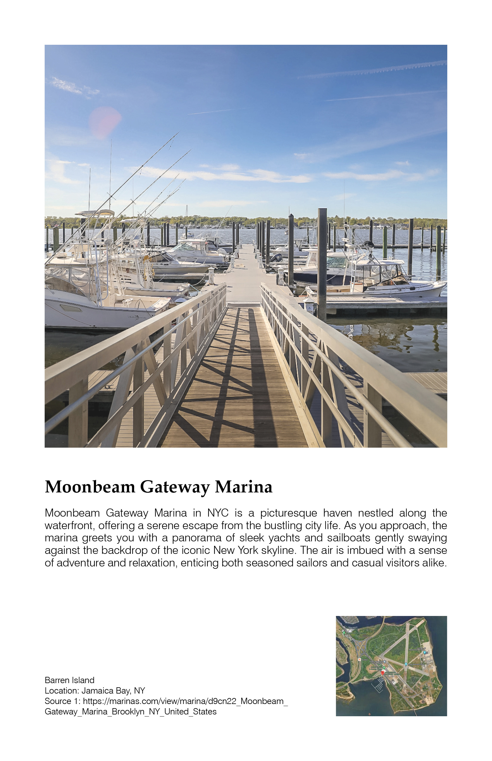
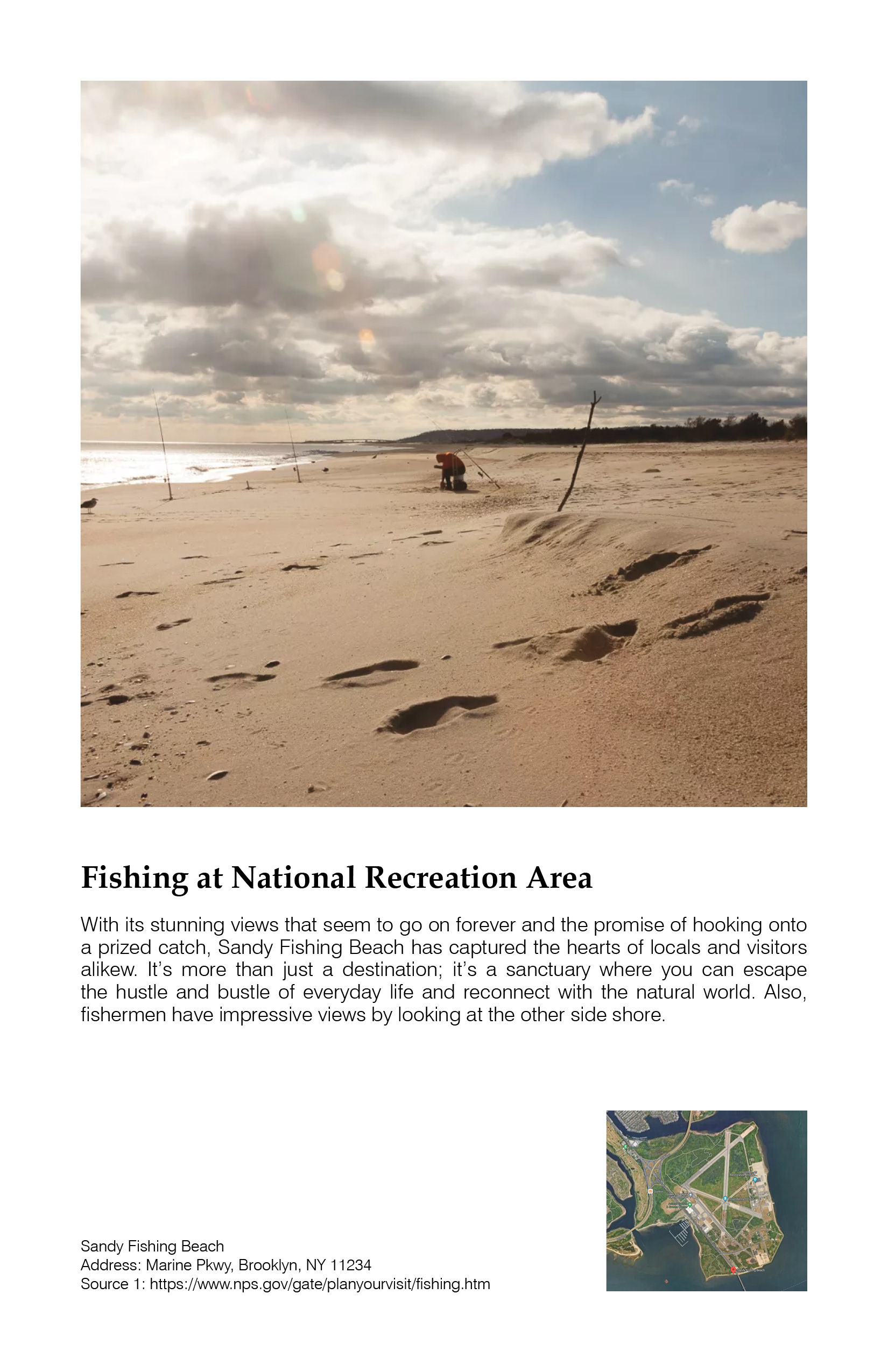
After studying the site, we found that the north side features a sports center and football field, while the center contains existing housing. Near the waterfront, there is a marina for weekend fishing and boating. The site also includes abandoned buildings, historical structures, and new educational institutions, including a high school on the south side. A key challenge is the lack of transportation infrastructure, so we plan to incorporate new transport systems connecting to existing train lines, sea routes, and bus networks. As the site was formerly an airport, we aim to utilize its flat terrain, remove toxic asphalt, and build with modular units to preserve and integrate with the natural environment.

Scale Comparison
This is a comparison of Floyd Bennett Field. The current scale is 1:512 inches = 1 foot, and half of the scale in the site analysis above is half that scale. This comparison shows the size difference—Floyd Bennett Field is quite large, covering an area of about two Central Parks.
We can divide the site into four sections using the main road and compare each section to famous city parks of similar size. This allows us to envision how the site can be planned to serve both tourists and local communities, including immigrants.
City parks effectively serve their surrounding neighborhoods. For example, Prospect Park serves the Park Slope. Currently, communities like Sheepshead Bay and Flatlands, located north of our site, lack convenient access to a city park. Since Floyd Bennett Field is a national park, we propose incorporating some of the functions of a city park to make it more accessible and attractive to nearby residents.
Walkability and path planning are crucial factors in shaping visitor experience. The flow of visitors in different city parks varies significantly due to road layouts. Some parks allow visitors to pass through as a shortcut simply. Larger parks may feel overwhelming, causing visitors to turn back after a short walk. On Governor’s Island, visitors often drive around instead of walking. These factors help us understand the scale of the site and inform our design approach.
In our plan, we referenced city park layouts to create a well-connected network of pathways. For sections preserving more of the national park, we introduced walking trails, while a bike route encircles the site, ensuring accessibility for pedestrians and cyclists alike.
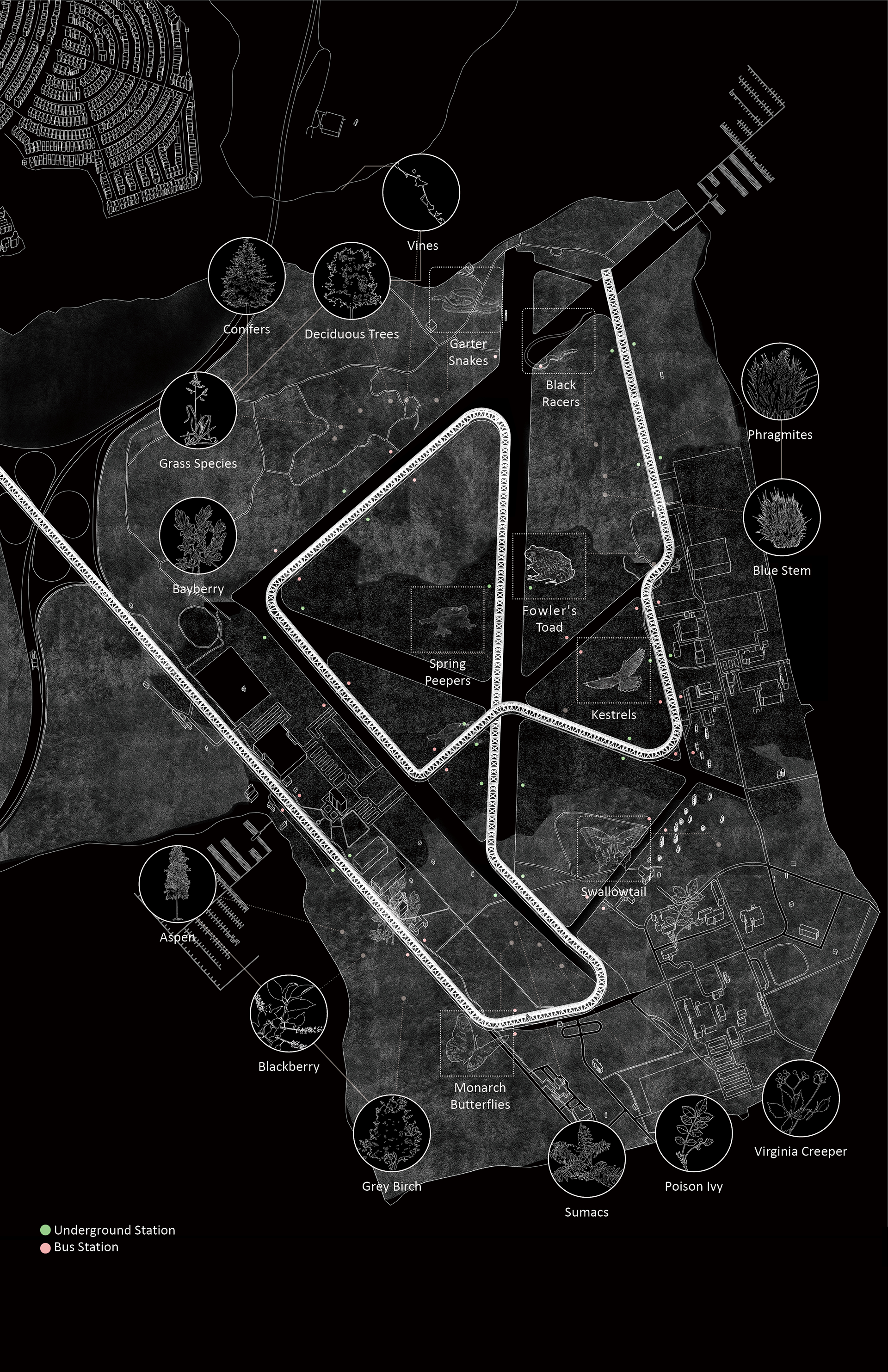
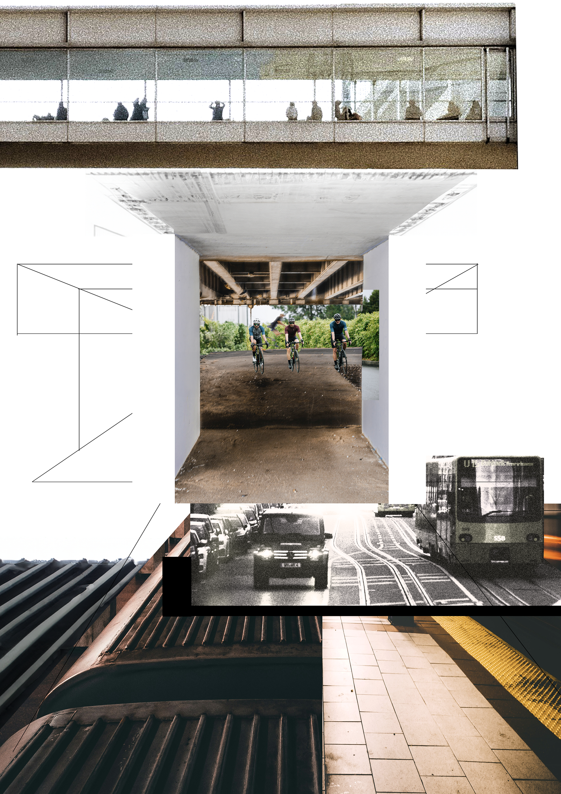
Flora & Fauna Bubble Map and Transportation Collage
The "Flora & Fauna Bubble Map" illustrates the relationship between new infrastructure and existing and future recreation areas. As outlined in the Main Drawing, the transit system will initially reach the entry of our first building before extending into a network of bridges constructed along the existing asphalt pathways, supported by bamboo columns.
Over time, as the asphalt is removed, a new community will emerge, designed to preserve and integrate with nature.
The collage depicts a sectional view of our envisioned transit system within the first five years. The underground level will feature a train line directly connected to our buildings. At the ground level, transit will be more diverse, incorporating buses, walking paths, and bike lanes to accommodate different programs and users. The bridges will become essential as the site develops, further enhancing connectivity and accessibility.
Revolution Planning (Main Drawing)
In our Main Drawing, we have incorporated timelines to guide the site's transformation over the next century.
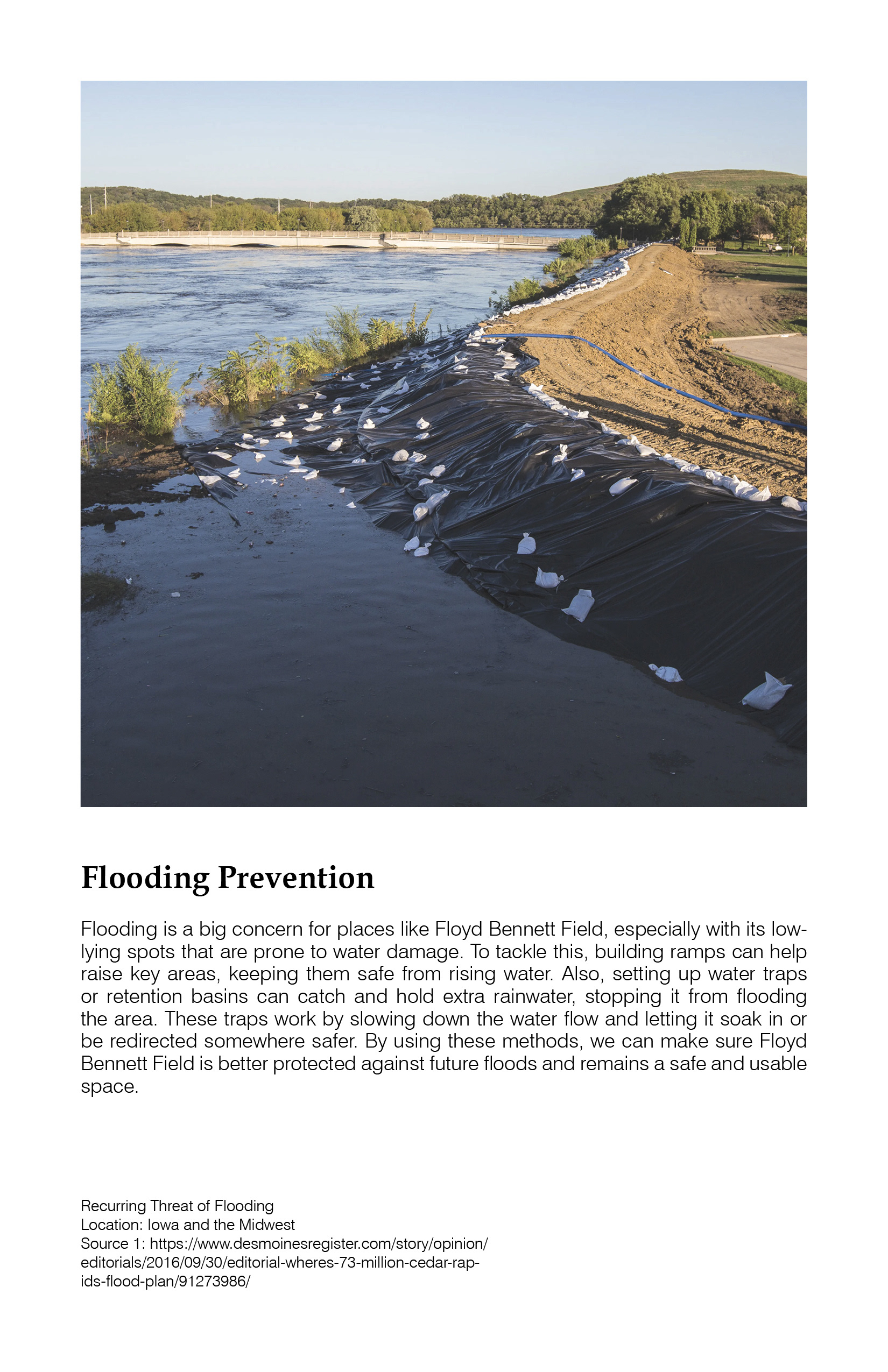
In the first 10 years, we plan to plant bamboo in the first triangle and excavate around the coast to install flood prevention units. Simultaneously, asphalt removal will prepare the ground for modular building construction. Regarding the new high school, existing trees and bushes will be cleared for the proposed school farms, and we will relocate the vegetation to the second triangle.
In 20 years, the train line will extend to the entrance of the first modular building. The farms will be fully operational, featuring an on-site farmer’s market and tasting events to attract visitors and cultivate a diverse community. Also, floating farm units will be introduced in the parking lot on the south side to prepare for future flooding.
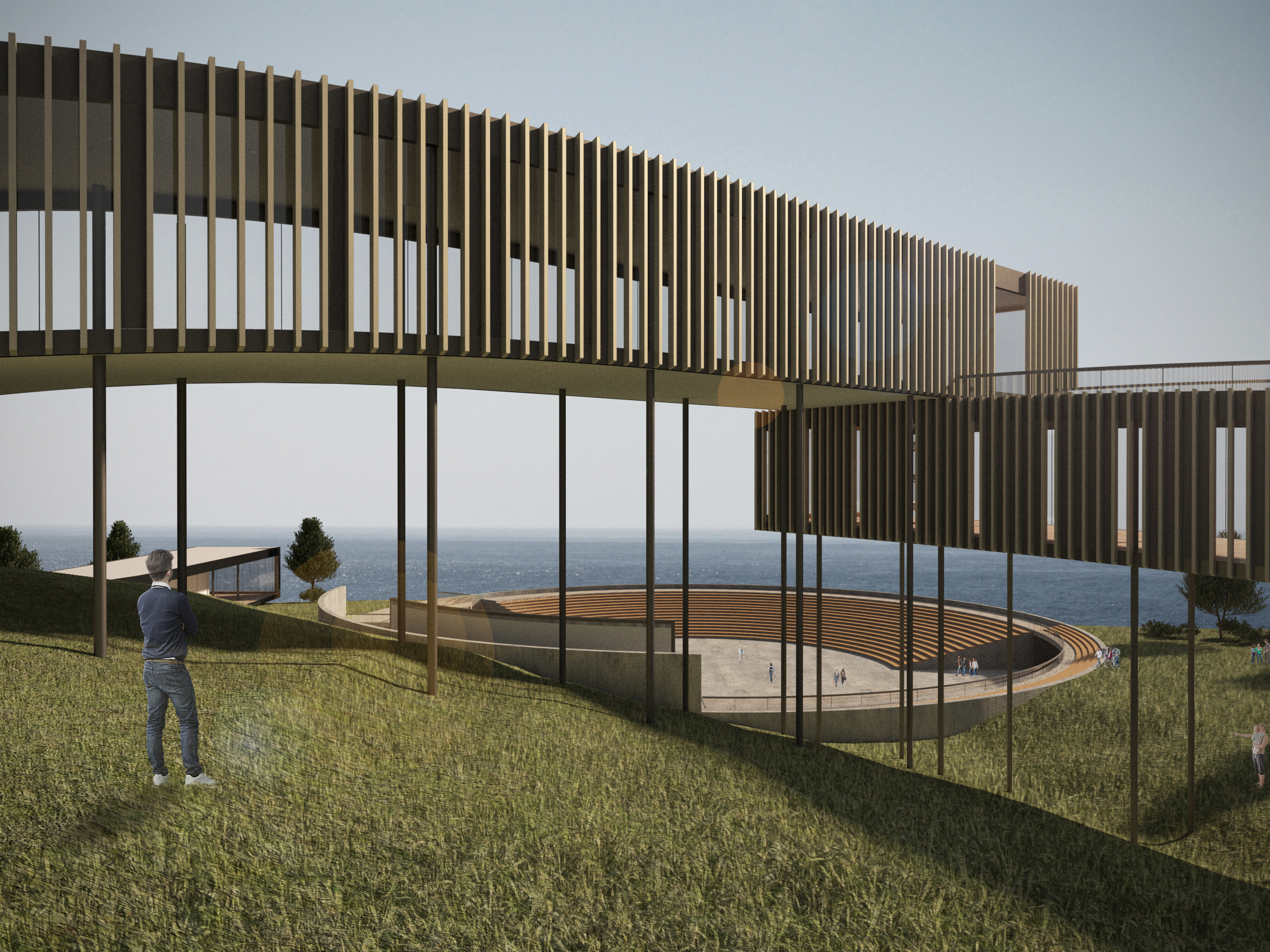
In 50 years, a new bridge and transport system will be integrated into the site. The community will develop along the former asphalt pathways as the modular buildings expand. The bridge, constructed from bamboo harvested from the initial bamboo farm, will enhance connectivity across the site.
In 100 years, the entire site is expected to be flooded, with the floating farm functioning in tandem with the modular buildings. The first floors of the buildings, elevated 10 feet above ground level, will remain above the projected 5-foot flooding level, allowing people to navigate the site using the bridge system.
Over time, the asphalt will be removed entirely, creating a new community that coexists with the evolving natural landscape.
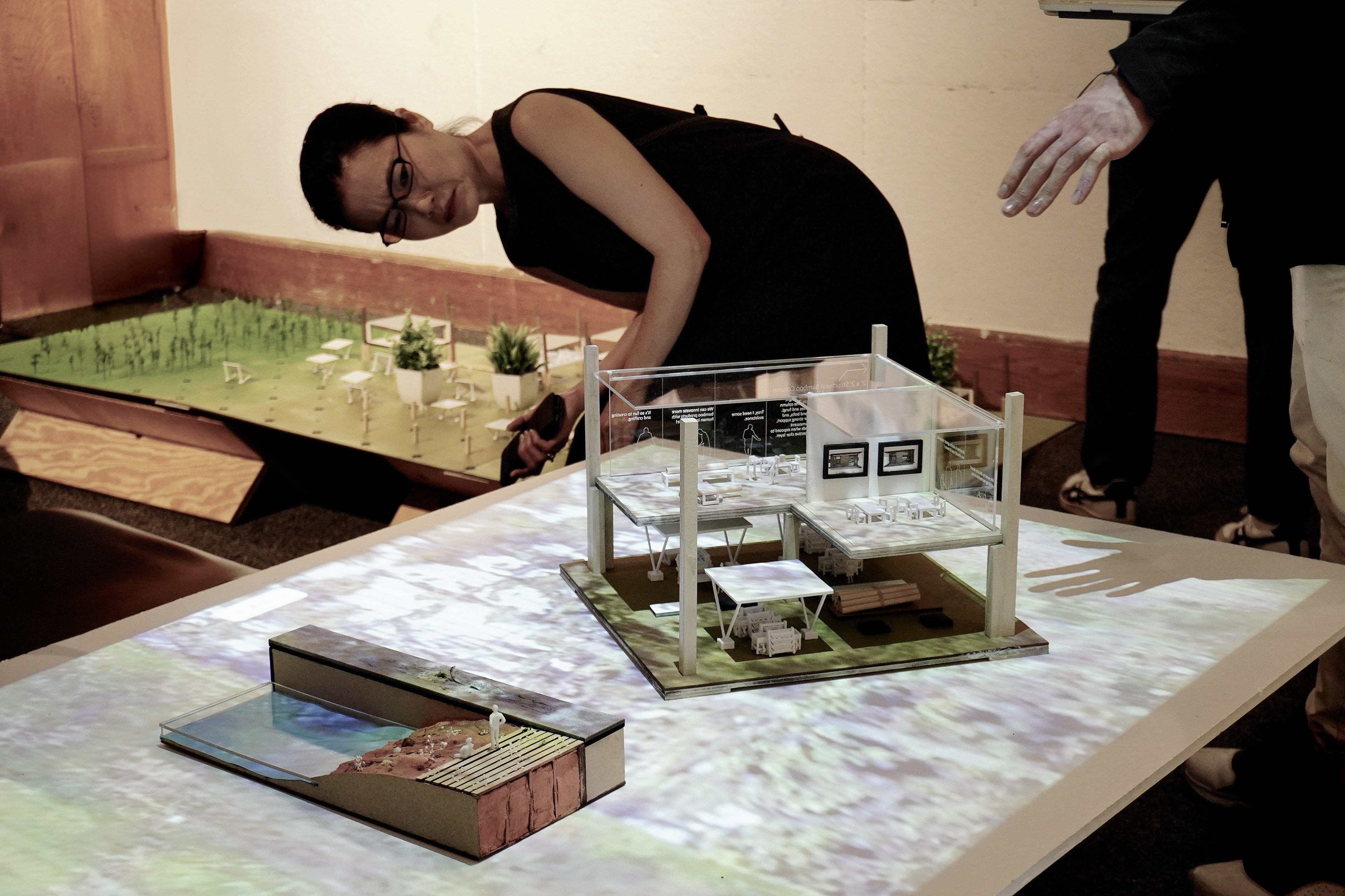
Modular Models and Site Model
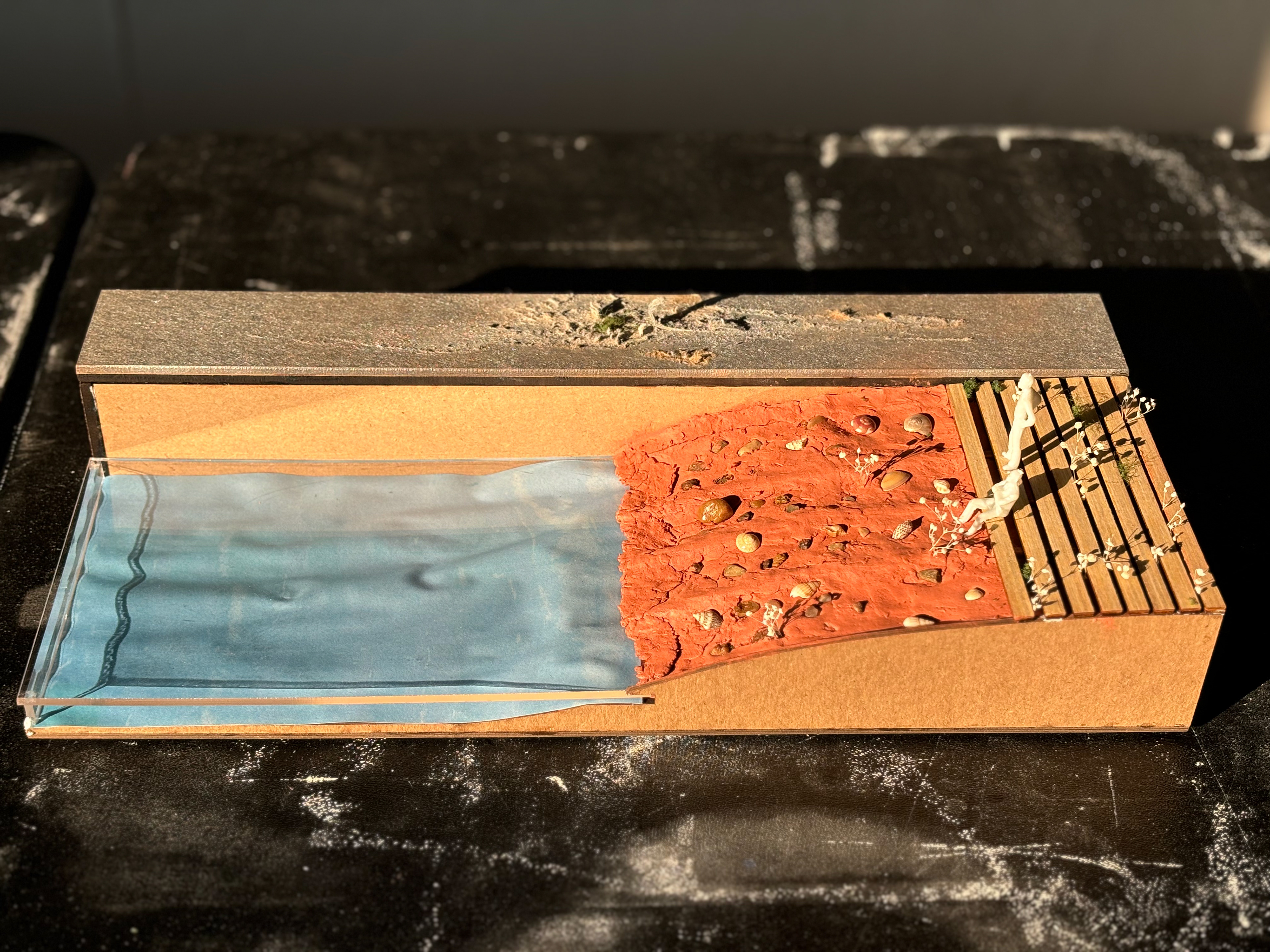
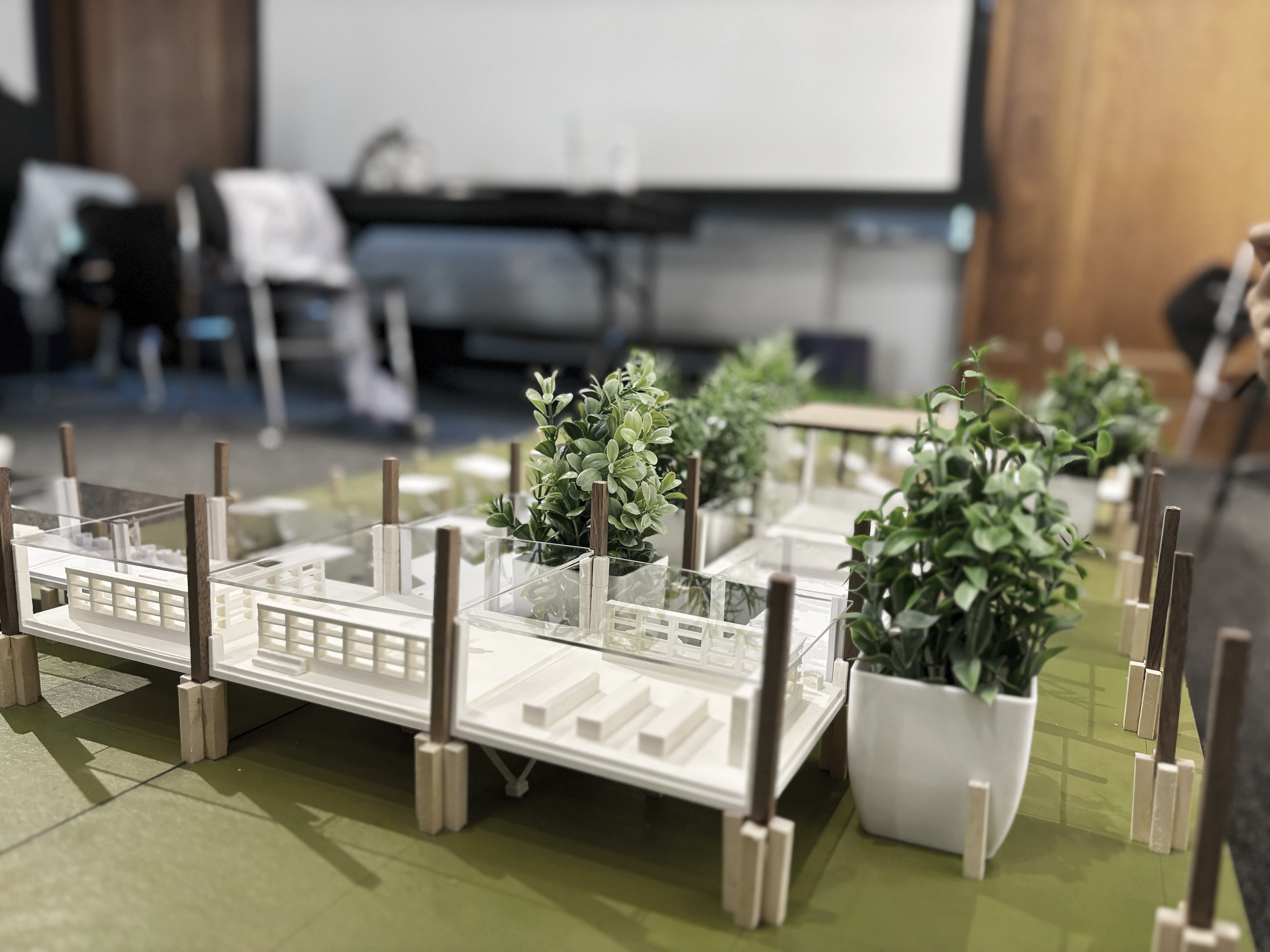
The first model illustrates our approach to restoring and preserving nature. Asphalt will be removed, and the land will be returned to the soil for new plantations. Simultaneously, the flood prevention system is demonstrated, where collected water will be redirected to school farms, floating farms, bamboo plantations, and on-site agricultural areas.
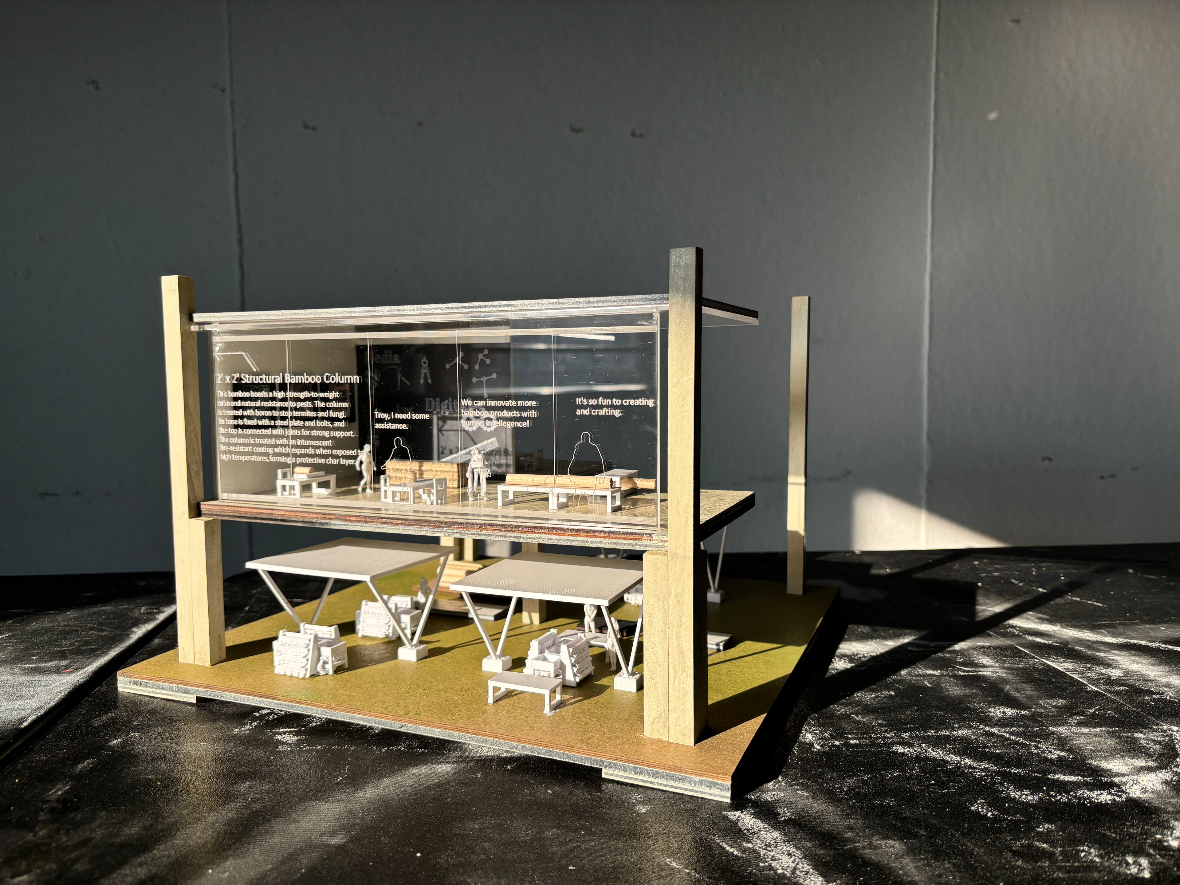
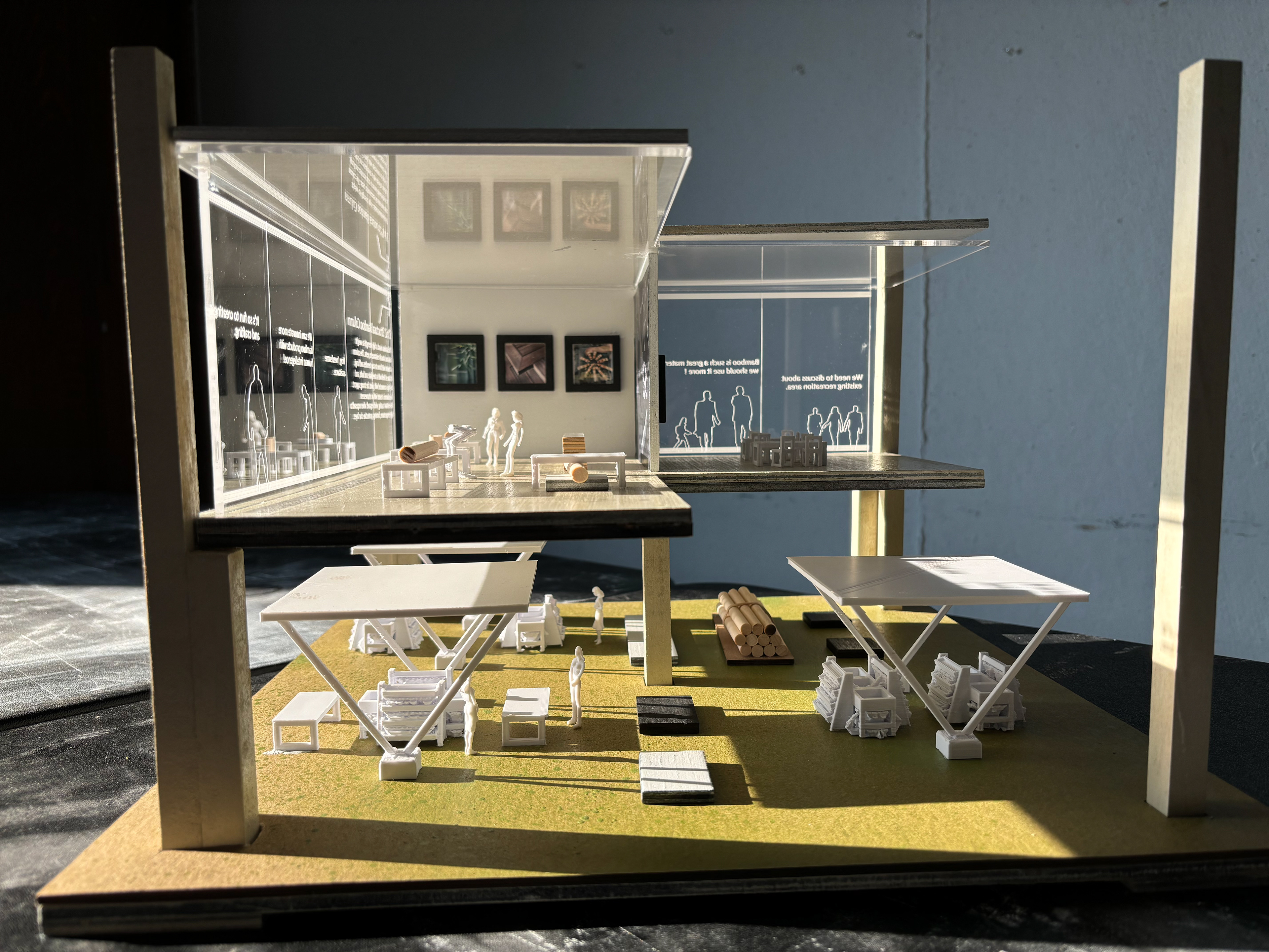
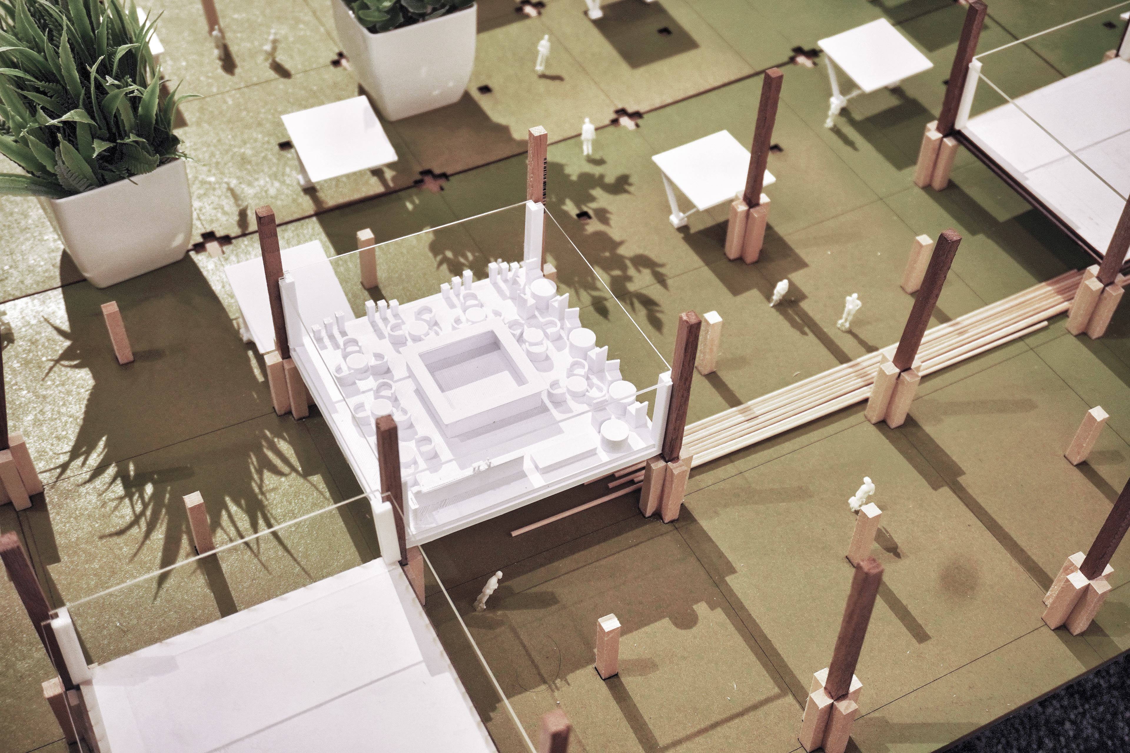
The second model presents one of our modular structures—a bamboo creative center dedicated to researching and innovating bamboo applications. This center will introduce various bamboo-based products into daily life. Beneath the module, the ground floor will accommodate a farmer’s market, storage spaces, and sitting/gathering areas, fostering a dynamic communal environment.
The site model, built at a 1/8 inch scale, differs from the 1/4 inch scale model and represents the project's first phase. This phase includes bamboo planting, structural construction, and tree relocation efforts. Since the site is expected to be flooded in 100 years, we aim to rescue lower-height plants and create green spaces to support other species on-site.
